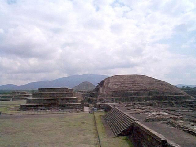
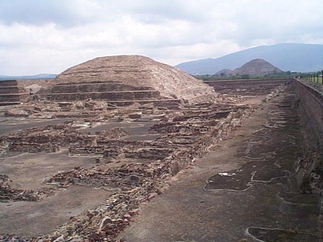
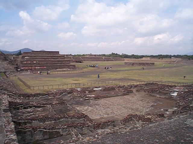
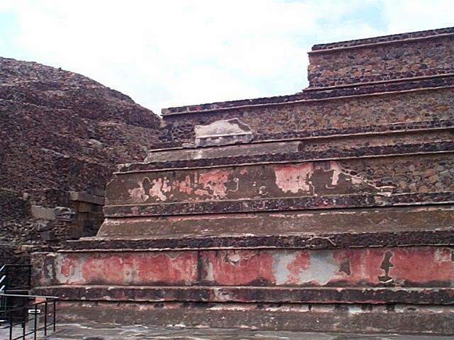
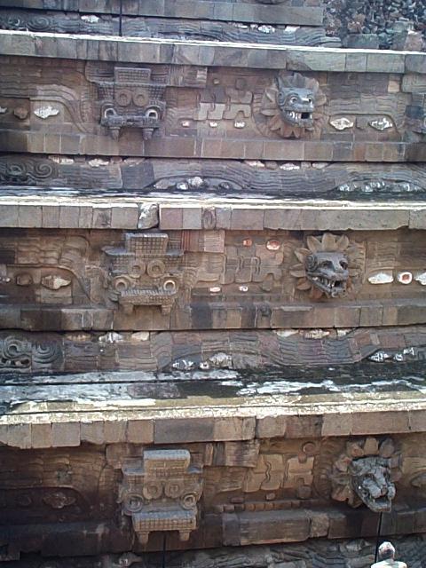
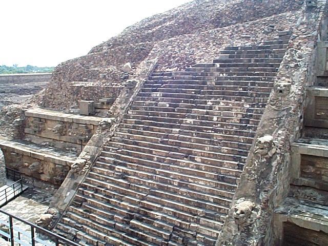
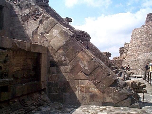
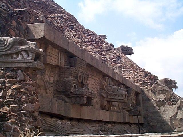
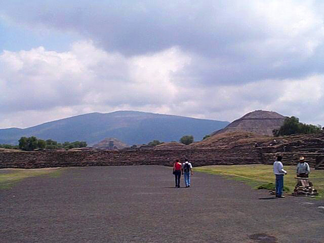
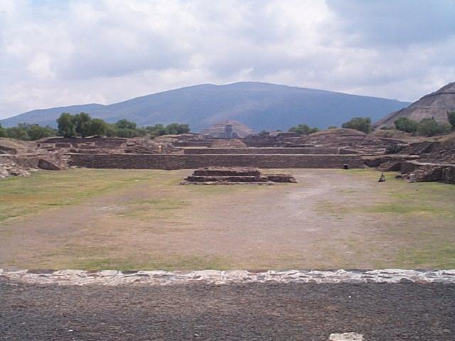
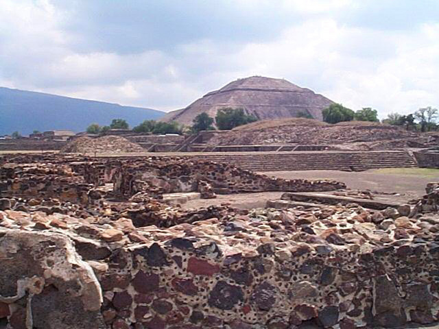
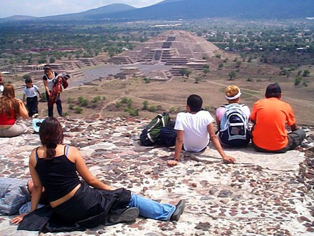
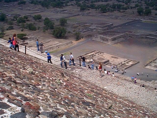
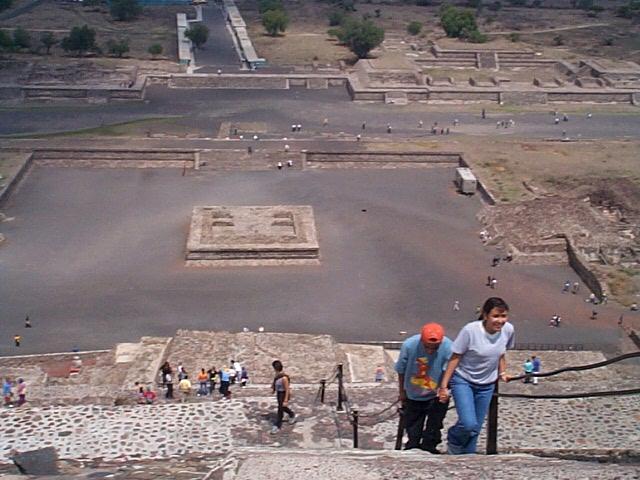
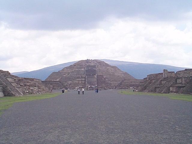
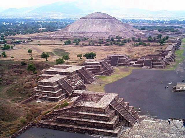
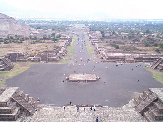
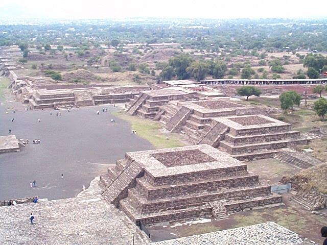
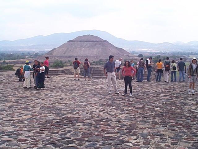
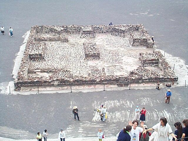
Teotihuacan (pronounced teh-oh-tee-wah-KAHN or teh-oh-tee-WAH-kan — experts differ on which is correct) is an archaeological site some 50 kilometers north of downtown Mexico City but still in the Valle de Mexico (the bowl surrounded by mountains in which Mexico City is on the southwest side). To get here go to the northern bus station from the metro station called Autobuses del Norte and take a bus to the Piramides. I was very surprised to be rolling through green farming country in the Valley of Mexico just north of the Mexico City. Air quality was surprisingly good. It was cloudy the morning I was here, but it started to clear around noon. The area is set on either side of the 2-kilometer long highway — Calzada de los Muertos (causeway of the dead) that runs north-south for the entire length of the complex. The pyramid of the sun was the first major structure built around 150 AD over a sacred cave just to the east of the causeway. The rest of the city was built to the west of the causeway between 250 and 600 AD. The area is nicely divided into the pyramids of the sun, the moon, and the temple of the feathered serpent, Quetzalcoatl, which was believed to serve also as an administrative center. Teotihuacan remains an archaeological mystery since the language is still unknown as well as the origin and the disposition of the inhabitants.
23 pictures taken in May 2001