Ajijic, Chapala, Jocotepec – Mexico’s Lake Chapala region: resource page

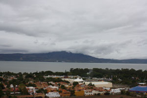
The Lake Chapala region (numerous villages stretching from Jocotepec on the northwest corner of the lake to Ajijic and Chapala further east) continues to grow in popularity among American and Canadian retirees looking for winter warmth and plenty of activities. The area has many attractions and comforts, and yet, not everyone can live happily here […]

Continue Reading
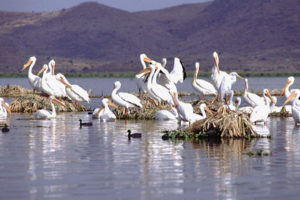
Flocks of migrant white pelicans, some from Ontario, Canada, spend their winters on the warm waters of Lake Chapala. Photo by John Mitchell, Earth Images Foundation

Lake Chapala: Can Mexico’s largest lake be saved?

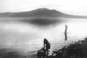
Lake Chapala, Mexico’s largest natural lake, is dying. The lake right now plays a vital role in a gigantic ecosystem, the River Lerma-Lake Chapala drainage basin, which includes more than 8 million people, 3,500 diverse industries, 750,000 hectares of irrigated farmland and 14 cities with populations in excess of 100,000. At the western extremity of […]

Continue Reading
Basic Map of Lake Chapala

Link to clickable interactive map of Lake Chapala

Click on map for interactive PDF map of Lake Chapala: Chapala, Ajijic, Jocotepec, San Juan Cosala, San Antonio Tlayacapan and other villages. Click on map for interactive PDF map of Lake Chapala: Chapala, Ajijic, Jocotepec, San Juan Cosala, San Antonio Tlayacapan and other villages. Published March 1, 2009. © 2009. Cartography by Tony Burton.

Continue Reading

Golfing in the Guadalajara and Lake Chapala area

Guadalajara Country Club Atlas Country Club Club de Golf Santa Anita Chapala Country Club Chula Vista Country Club S.C Course Name: Guadalajara Country Club A.C Address: Mar Caribe 2615, Guadalajara, Jal. Phone: (3) 817-2858 or (3) 817-3502 Fax: (3) 817-3475 Accepts outside players Monday thru Friday if they show proof of membership in another Country Club Course Length: 6,900 yds. […]

Continue Reading